
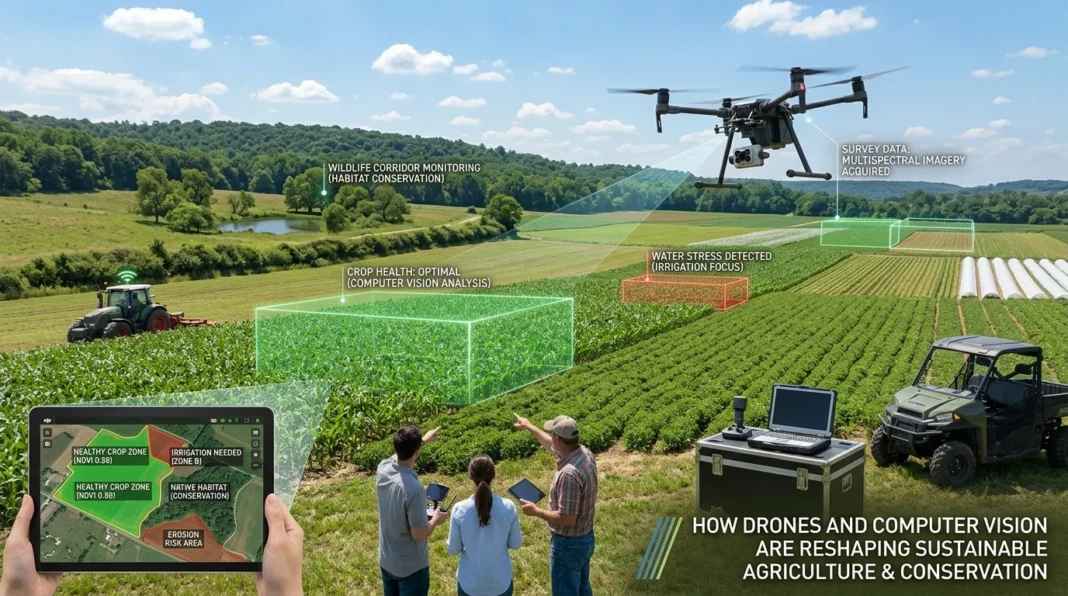


For generations, agricultural management and environmental conservation have relied on intensive manual labor and subjective observation. Farmers scouted massive fields on foot or by tractor, risking soil compaction and missing early signs of disease, while conservationists struggled to monitor vast, inaccessible ecosystems. Today, the convergence of unmanned aerial vehicles (UAVs) and artificial intelligence—specifically computer vision—is fundamentally changing how we interact with the natural world. This article explores how AI-equipped drones are revolutionizing sustainable farming and biodiversity protection by providing real-time, actionable insights that reduce chemical use, optimize resources, and monitor ecosystems at unprecedented scales.
The Drone Revolution in Precision Agriculture
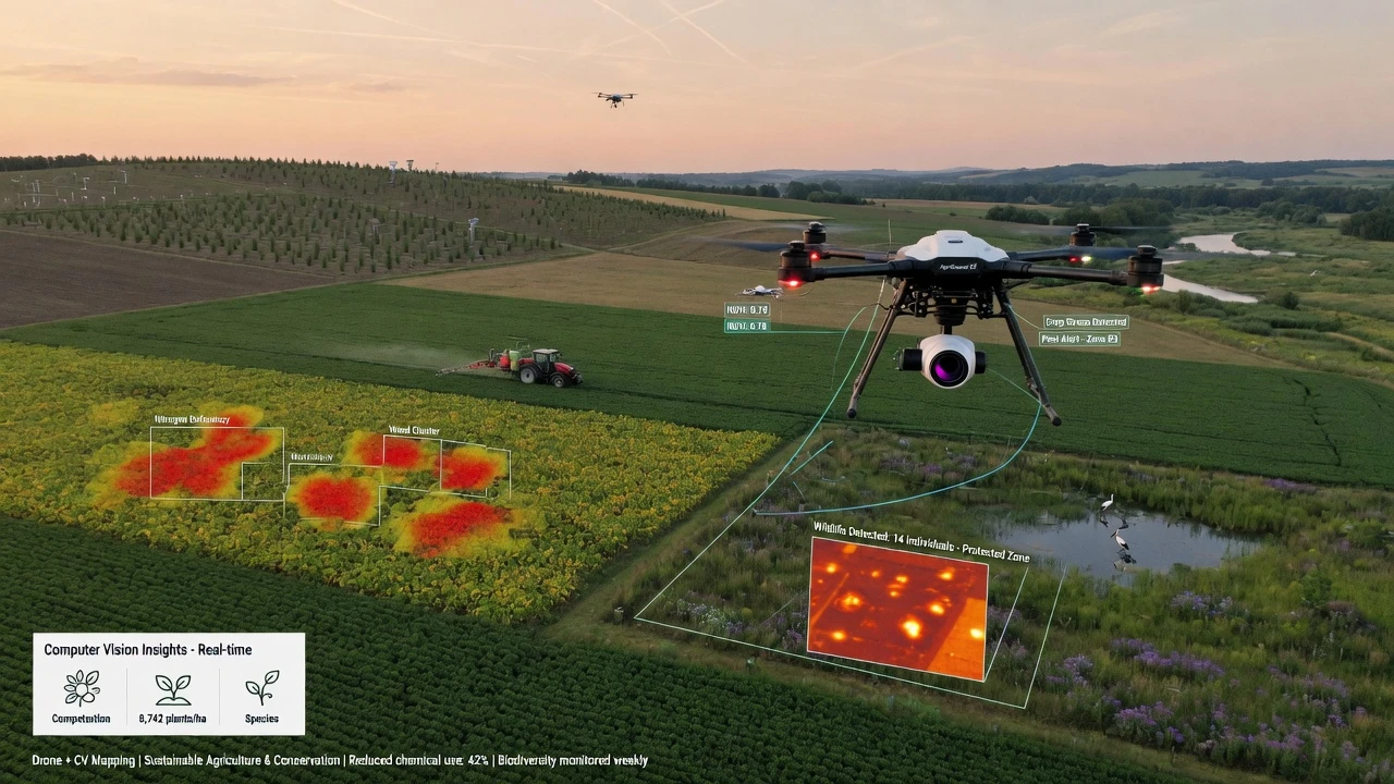
The integration of drones in agriculture represents a major leap from traditional farming methods. Equipped with high-resolution RGB and multispectral cameras, UAVs capture detailed imagery of crop fields, which is then processed by computer vision algorithms to detect minute variations in plant health.
This technology is replacing reactive farm management with proactive intervention. Instead of applying blanket treatments across an entire field, farmers can now pinpoint exactly where a problem is developing. The transition to precision agriculture not only cuts operational costs but also significantly mitigates the environmental impact of farming by minimizing the runoff of synthetic chemicals into local water systems. According to recent reviews, AI-driven drone systems can improve crop yields by up to 30% while reducing herbicide usage by as much as 90%.
Early Disease Detection and Crop Health
One of the most critical applications of drone vision is the early detection of plant diseases before symptoms become visible to the human eye. Advanced deep learning models, such as hybrid Convolutional Neural Network (CNN) and Transformer architectures, analyze aerial imagery to identify subtle changes in leaf texture, color, and shape.
For example, systems like AgroVisionNet combine visual data from drones with environmental context from IoT sensors (such as soil moisture and temperature) to predict and confirm disease outbreaks. By processing this information on edge devices directly on the drone or at the field boundary, these systems provide near real-time heat maps of disease severity. This rapid diagnosis allows agronomists to isolate and treat infected zones immediately, preventing widespread crop loss and reducing the need for broad-spectrum fungicides.
Smart Weed Mapping and Herbicide Reduction
Weeds compete with crops for vital resources, and traditional management often involves heavy, uniform herbicide application, which fosters herbicide-resistant species and harms the ecosystem. Drones equipped with computer vision are changing this dynamic through highly accurate weed mapping.
Recent innovations, such as the RoWeeder framework, use unsupervised learning to detect crop rows and distinguish crops from inter-row weeds without requiring expensive, manually labeled training data. By generating precise maps of weed infestations, drones enable Site-Specific Weed Management (SSWM). Farmers can program automated sprayers or agricultural robots to apply herbicides only where weeds are actively growing, drastically cutting chemical inputs and lowering operational costs.
Edge Computing for Real-Time Decision Making
A significant hurdle in deploying AI on agricultural drones has been the massive computational power required to process high-resolution multispectral imagery. Historically, data had to be uploaded to the cloud for analysis, causing delays that are unacceptable during a rapidly spreading pest infestation.
To solve this, researchers are employing techniques like knowledge distillation to compress large, complex neural networks into lightweight models that can run directly on the drone’s onboard hardware. Edge computing allows the drone to analyze data in real time, filtering out noise and generating actionable insights mid-flight. This capability ensures that farmers receive immediate alerts and treatment recommendations, bridging the gap between data collection and field intervention.
Supporting Biodiversity and Ecosystem Conservation
Beyond the farm, the exact same drone and computer vision technologies are proving invaluable for wildlife conservation and habitat monitoring. The ability to survey large, difficult-to-navigate terrains without disturbing the environment is a game-changer for ecologists.
Computer vision algorithms can automatically count wildlife populations, identify endangered species through behavior recognition, and track migration patterns from aerial footage. Furthermore, drones monitor the health of vital ecosystems like forests and wetlands, detecting illegal logging, assessing forest canopy health, and identifying areas that require urgent restoration. By providing a continuous, objective stream of ecological data, these tools empower conservationists to make informed, data-driven decisions to protect global biodiversity.
Integrating AI Models with Environmental Sensors
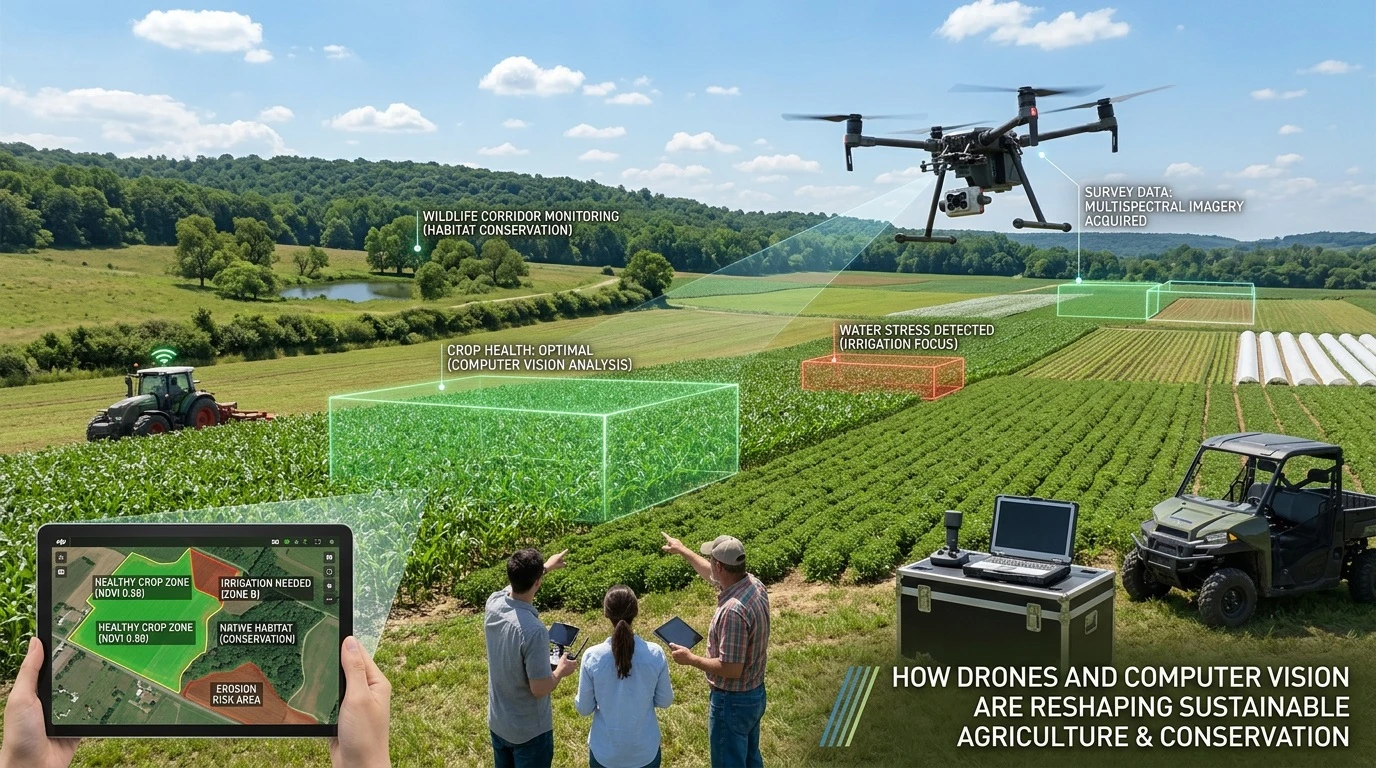
While high-resolution imagery is powerful, it provides only a partial picture of agricultural and ecological health. The most advanced systems now fuse computer vision data with inputs from ground-based IoT sensors to create a holistic view of the environment.
This multimodal approach combines visual evidence of plant stress with data on soil moisture, ambient temperature, and humidity. Adaptive AI models weigh these different data streams dynamically; for instance, if image quality is degraded by poor lighting, the model relies more heavily on sensor data to assess the risk of a humidity-driven fungal infection. This synergy between aerial surveillance and ground-level sensing ensures highly accurate, robust predictions regardless of fluctuating field conditions.
Enhancing Water Sustainability and Smart Irrigation
While crop health and weed detection dominate early adoption, AI-powered drones play an equally critical role in water conservation. Thermal cameras mounted on UAVs can detect minute temperature variations in the crop canopy, which directly correlate with water stress. When plants lack sufficient water, they close their stomata to prevent moisture loss, which subsequently raises their internal leaf temperature long before visible wilting occurs.
Computer vision models process these thermal maps to guide variable-rate irrigation systems, ensuring water is delivered exclusively to zones experiencing deficit. This targeted approach directly supports global sustainability metrics by drastically reducing agricultural water use and minimizing the massive energy consumption associated with large-scale pumping systems.
3D Terrain Modeling and Soil Erosion Control
In addition to monitoring plant health, drone-based computer vision is instrumental in managing the physical landscape of the farm and its surrounding habitats. Using photogrammetry and Light Detection and Ranging (LiDAR) sensors, drones can generate highly accurate 3D topographical maps of agricultural terrain. These digital elevation models allow AI software to simulate water flow and predict runoff patterns during periods of heavy rainfall.
By identifying areas at high risk for soil erosion or nutrient leaching, farmers can proactively implement physical interventions, such as terracing, cover cropping, or strategic drainage redesign. For conservationists, this same topographical analysis helps map degraded riverbanks and shifting forest boundaries, providing critical structural data for large-scale environmental restoration projects.
Tackling Data Scarcity and Model Interpretability
Despite rapid advancements, scaling these AI solutions across diverse agricultural environments presents significant technical hurdles, particularly regarding data scarcity. Machine learning models require vast amounts of annotated training data to accurately identify species-specific pests or rare ecological anomalies. When training data is limited to specific geographic regions, models often struggle to generalize when introduced to new climates, crop varieties, or soil types.
Furthermore, the complex, “black box” nature of deep learning creates issues with model interpretability. Farmers and conservationists need to understand exactly how an AI system arrived at a specific diagnosis before committing to large-scale, expensive interventions. Researchers are actively focusing on explainable AI (XAI) frameworks to build trust and ensure transparency in automated decision-making.
Overcoming Economic Barriers for Smallholders
The transition to precision farming is heavily dependent on capital, creating a risk that advanced AI tools may disproportionately benefit massive corporate farms. High upfront costs for enterprise-grade drones, multispectral sensors, and subscription-based analytics platforms remain a significant barrier for smallholders.
However, the industry is gradually shifting toward “hardware-as-a-service” (HaaS) models and cooperative sharing programs, where multiple regional farms share a single drone fleet and cloud computing infrastructure. By democratizing access to these technologies, the agricultural sector can ensure a more equitable distribution of AI benefits, empowering smaller growers to achieve the same 20% to 30% yield improvements seen in larger commercial operations.
Ethical Considerations and Data Privacy
As drones continuously capture high-resolution imagery of privately owned land, data privacy has emerged as a primary ethical concern. The visual and environmental data collected by UAVs holds immense commercial value, revealing everything from historical yield performance to proprietary crop management techniques.
If aggregated without explicit consent, this data could be exploited by third-party corporations, commodity traders, or insurance companies to the detriment of the farmer. Establishing robust data governance frameworks and federated learning models—where the AI learns locally on the edge device without sharing raw imagery to centralized servers—is becoming essential to protect grower sovereignty.
Future Directions: Swarm Robotics and Beyond
Looking ahead, the next frontier in aerial agricultural AI moves beyond single-drone operations toward autonomous swarm robotics. Instead of a single UAV mapping a 500-acre farm, a coordinated fleet of smaller, more agile drones can divide the terrain, communicating via local mesh networks to share real-time insights.
If one drone detects a severe pest outbreak, it can instantly signal nearby units to dynamically alter their flight paths and conduct a highly detailed, multi-angle inspection of the affected zone. This evolution from isolated automated tools to interconnected, intelligent farming ecosystems will ultimately solidify AI’s pivotal role in achieving global food security and climate-resilient agriculture.